

Raw land often presents a deceptive facade. A parcel observed from the shoulder of a rural county highway can appear breathtaking, featuring rolling green hills, dense stands of hardwood timber, and sweeping open pastures. To an untrained buyer, an attractive scenic view suggests a prime opportunity to build a custom residence, establish a livestock operation, or hold an appreciating asset for future generations. Yet, beneath that picturesque exterior lie physical, geological, and hydrological realities that govern what can actually be built, farmed, or sustained on the property.
Surface appearances alone rarely determine the genuine market value of rural acreage. True land valuation is rooted in civil engineering and soil science: topography, which dictates how water moves across the surface and how much dirt must be moved to create a buildable pad, and soil taxonomy, which governs structural bearing capacity, agricultural yield, and wastewater absorption. Overlooking these two foundational elements can transform a seemingly favorable land deal into a financial sinkhole burdened by steep grading expenses, unbuildable building envelopes, failed septic designs, and unstable structural foundations.
Decoding Contour Lines and Terrain Slope for Building Feasibility
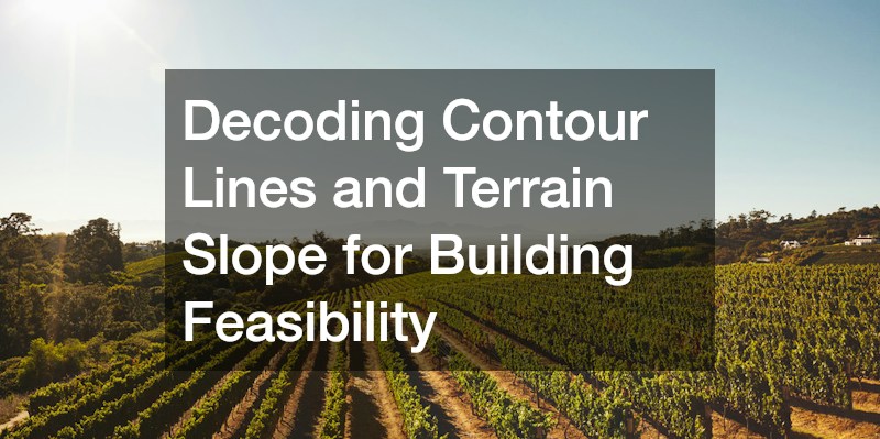
Topography begins with contour lines, the brown lines on standard topographic quadrangle maps that trace points of equal elevation above sea level. The physical distance between these lines reveals the steepness of the terrain. When contour lines are spaced broadly apart, the land slopes gently, offering easy machinery access, straightforward civil grading, and versatile building envelopes. When contour lines pack tightly together, the terrain rises sharply, presenting severe engineering challenges that drive up earthmoving and infrastructure expenses.
Understanding terrain slope percentages is critical when budgeting site work. Slope is calculated as the vertical rise divided by the horizontal run, multiplied by one hundred. A slope of zero to five percent represents ideal terrain for residential pads, agricultural barns, and gravel driveways, requiring minimal cutting and filling. A slope between six and ten percent remains manageable, though it often requires engineered drainage swales, culverts, and subtle retaining berms. Once a grade exceeds ten to fifteen percent, site development costs rise dramatically. Excavation crews must employ heavy machinery to cut deep benches into hillsides, install heavy engineered retaining walls, and transport fill dirt off-site. On slopes exceeding twenty percent, civil authorities frequently enforce strict hillside ordinances that restrict clearing and building footprints due to the acute risk of landslides and stormwater runoff.
Topographic maps also reveal natural water drainage paths. Concentric contour lines pointing uphill indicate natural valleys, gullies, and ephemeral drainage swales that carry stormwater during intense cloudbursts. Constructing a home, access road, or livestock shelter across one of these natural flow paths invites localized flooding, severe washouts, and structural undermining. Conversely, contour lines that point downhill indicate natural ridges, which represent the driest, most stable locations for access roads and homesites.
Walking a parcel in person is essential because aerial photography and twenty-foot contour intervals often smooth out micro-topography. Aerial scans miss hidden four-foot vertical washouts, hidden sinkholes, boulder fields, and limestone ledges concealed beneath dense briar thickets and brush. Serious land buyers strap on rugged cowboy boots to protect their feet and ankles from hidden rock drops, venomous snakes, and sharp mesquite thorns while traversing the raw acreage on foot. Stepping across every terrace and slope gives buyers direct physical feedback on the terrain’s walkability and practical usability.
Quantifying the physical obstruction of vegetation on sloped ground is another crucial cost consideration. Overgrown brush, wild cedar breaks, and dense underbrush conceal uneven terrain and make future grading work difficult. Budgeting for upfront land clearing allows property owners to remove unwanted timber, grind down stumps, and remove invasive underbrush through forestry mulching. Evaluating whether a parcel requires light brush mowing or heavy mechanical clearing prevents buyers from underestimating the capital investment required to make raw acreage buildable.
Evaluating Soil Drainage, Percolation, and Utility Feasibility
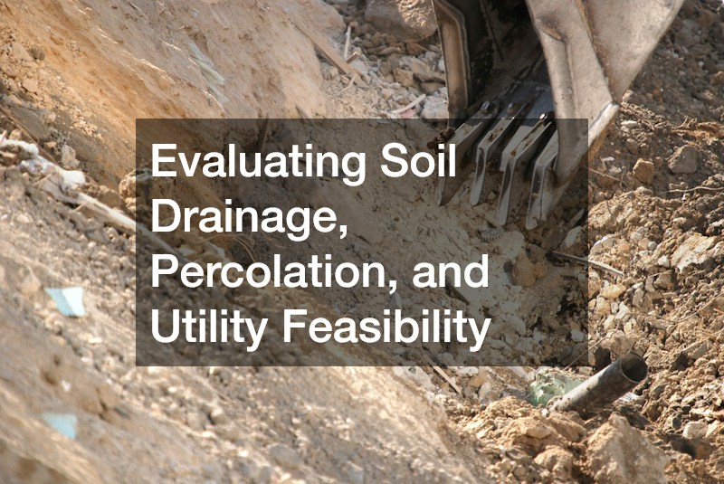
While topography dictates the surface movement of water, the underlying soil profile determines what happens when moisture penetrates the ground. Every parcel of land possesses a specific soil taxonomy cataloged by the USDA NRCS Web Soil Survey. This vast public database maps thousands of distinct soil series across the country, detailing depth to bedrock, natural drainage class, hydraulic conductivity, and seasonal high-water tables.
For rural land lacking municipal sewer connections, soil drainage determines whether a parcel can support an economical, gravity-fed conventional septic system. A standard septic drain field relies on the native soil’s capacity to filter, treat, and disperse liquid effluent naturally. Sandy loams and well-structured silt loams offer ideal percolation rates, allowing wastewater to pass through the soil profile slowly enough to destroy pathogens while draining fast enough to avoid surface ponding. Conversely, soils with dense subsoil clay horizons or shallow restrictive layers—such as fragipans or caliche beds—fail standard percolation tests. In these restrictive environments, effluent cannot move downward, leading to standing surface water and severe biological contamination.
When poor percolation rates or shallow seasonal water tables rule out conventional gravity septic fields, land buyers must turn to advanced engineered wastewater systems. These alternative solutions—such as low-pressure dosing (LPD) setups, aerobic treatment units (ATUs) with surface spray application, or elevated sand mound systems—carry significant price tags that can easily double or triple site development budgets. Sourcing material from dependable sand suppliers becomes a logistical and financial priority when building engineered sand mound systems. These specialized wastewater mounds require hundreds of tons of clean, washed, ASTM C-33 graded silica sand to serve as an elevated bio-filtration medium above impermeable native soils. Sourcing and trucking this specialized aggregate to remote rural properties adds substantial freight expenses that directly impact net land value.
Beyond wastewater disposal, soil and topography govern a property’s drinking water accessibility. In rural jurisdictions without municipal water mains, establishing a private water supply is non-negotiable. Identifying the depth and yield of regional aquifers requires examining nearby well logs alongside local topography. Drillers look for recharge zones and fractures in underlying bedrock, which are often correlated with surface drainage valleys. Factoring the cost of a complete water well install—which includes drilling through deep rock strata, installing steel or PVC casing, dropping a submersible pump, and plumbing an insulated pressure tank—must occur before finalizing a land purchase. If regional well logs indicate drilling depths exceeding five hundred feet, or if local groundwater exhibits heavy sulfur, iron, or salinity, the cost of drilling and advanced water treatment can quickly alter a parcel’s financial viability.
Establishing Legal Boundaries and Ground-Level Hardscape Planning
A deep understanding of topography and soil conditions is only useful if you can pinpoint where those physical features sit within legally deeded property lines. Historical rural parcels are frequently burdened by vague metes-and-bounds legal descriptions that rely on natural landmarks—such as stone piles, blazed oak trees, and seasonal creek beds—that have long since eroded, decayed, or shifted over time. Fences in rural areas were rarely installed on true property lines; early homesteaders built along paths of least resistance, avoiding dense rock ledges, swamps, and steep ravines.
Retaining licensed farm surveyors to perform a modern boundary and topographic survey is one of the most critical due diligence steps prior to acquisition. Boundary professionals utilize high-precision GPS base stations and robotic total stations to establish accurate corners, verify deeded acreage calculations, mark access easements, and reconcile fence-line encroachments. Furthermore, requesting a topographic contour overlay on the final boundary plat provides an invaluable engineering asset, highlighting natural grade elevations relative to legal setbacks, utility easements, and floodplain boundaries.
Once true boundaries and topographical contours are confirmed, master planning for ground-level structures can proceed smoothly. Positioning outdoor living spaces requires balancing natural ground slopes with daily livability. When integrating expansive patios into a rural homestead plan, the surrounding topography dictates excavation requirements. A patio built on a flat knoll requires little more than base compaction and edge restraints, while an outdoor living terrace planned on a moderate five-percent grade requires substantial structural cut-and-fill work, terraced masonry retaining walls, and integrated subbase drains to keep surface runoff from washing across the entertaining space during summer storms.
Managing civil earthwork efficiently hinges on calculating cut-and-fill balances. In earthmoving, the cut represents the volume of native soil excavated from high points on the site, while the fill represents the soil required to raise adjacent low spots to a level grade. When a site plan achieves a neutral cut-and-fill balance, all excavated dirt remains on site, eliminating the immense expense of trucking excess fill off the property or paying for imported structural fill.
Navigating Load-Bearing Soils for Foundations and Infrastructure
The structural integrity of every building, barn, equipment shop, and concrete apron depends on the load-bearing capacity of the soil beneath it. Soil bearing capacity—measured in pounds per square foot (PSF)—dictates the size, depth, and structural engineering required for foundation footings. Coarse, well-draining gravels and dense, fractured sedimentary rock can support heavy loads of four to eight thousand PSF with negligible risk of settling. In contrast, soft alluvial silts, unconsolidated sands, and hydric wetland soils support less than fifteen hundred PSF, demanding specialized foundation engineering.
The most notorious structural hazard in rural construction is expansive clay soil, frequently classified as vertisols or fat clays. These soils contain montmorillonite minerals that expand when absorbing moisture and shrink as they dry out during summer droughts. This cyclical shrink-swell action exerts thousands of pounds of hydrostatic uplift pressure against foundation walls, cracking concrete footings, misaligning door jambs, and shearing underground plumbing conduits. Building on expansive clays requires engineered post-tensioned slabs, deep helical piles, or drilled concrete piers that extend through the active clay layer to anchor into stable subterranean bedrock.
Constructing durable rural structures on challenging terrain requires dependable access to structural building materials. Establishing direct supply chains with regional concrete supplies ensures that ready-mix trucks can deliver high-strength concrete mixes to remote building sites without exceeding batch hydration timelines. Concrete suppliers balance cement-to-water ratios, incorporate water-reducing admixtures, and supply bulk rebar packages to construct reinforced grade beams, suspended structural slabs, and reinforced retaining walls capable of withstanding lateral soil pressures on sloped terrain.
Before foundation excavation can begin, however, large tracts of land often require broad-scale civil site clearing to remove dense timber canopies, root systems, and boulders. Contracting an experienced land clearing company provides the heavy machinery—such as 30-ton excavators, track loaders, and root rakes—needed to strip root balls and level pad sites. Professional land clearers remove deeply rooted stumps and organic matter completely rather than burying debris on-site, preventing subterranean decay voids that cause structural slab settlement years down the road.
Enhancing Property Value Through Topography-Aligned Stewardship

When property owners work with their land’s natural contours and soil characteristics rather than fighting them, long-term maintenance costs plummet while property value steadily rises. Master planning that honors the natural landscape produces functional, resilient, and visually captivating properties.
Surface water management represents the primary intersection between land stewardship and property valuation. Uncontrolled sheet runoff across bare, graded slopes rapidly carves ruts and gullies, stripping away valuable topsoil and washing road gravel into nearby streams. Building along natural topographic contours allows landowners to install passive water-harvesting swales, keyline plow patterns, and strategic retention ponds. Ponds positioned in natural drainage funnels harvest stormwater runoff, creating valuable water reserves for livestock, fire defense, and recreation while slowing water velocity to prevent downstream erosion.
Integrating topography into long-term master planning also elevates the visual appeal and livability of the property. Working with professional design teams to create custom landscape designs ensures that residential home sites, outbuildings, paddocks, and recreational trails complement the land’s natural grade transitions. Thoughtful landscape design incorporates natural rock outcroppings, preserves old-growth shade canopies along ridge lines, and utilizes native, drought-tolerant grasses on steep slopes to secure topsoil without requiring continuous mechanical mowing or artificial irrigation.
Heavy earthmoving and continuous site grading leave an inevitable mark on finished structures. During civil excavation and road construction, heavy equipment stirs up clouds of mineral dust, while sudden rains splash red clay and silt against home foundations, newly framed outbuildings, and finished exterior walls. Scheduling professional house washing services utilizes low-pressure soft-washing techniques and specialized surfactant solutions to rinse away abrasive grit, red clay stains, and airborne organic mold without stripping paint, pitting mortar, or damaging delicate window seals. Cleaning down finished structures once the heavy dirt work concludes restores curb appeal, preparing the homestead for occupancy or market listing.
Acquiring raw acreage is one of the most rewarding real estate investments an individual can make, offering a tangible connection to the land and a blank canvas for building a personal legacy. Yet, the long-term success and financial security of that investment depend on the physical ground beneath the grass. Land value is not defined by surface aesthetics; it is dictated by what the topography and soil can safely, legally, and sustainably support.
By taking the time to interpret topographic contour intervals, review USDA soil survey data, verify legal boundary lines, and audit subterranean utilities, you transform due diligence from a guessing game into a precise, calculated science. Understanding these fundamental terrain mechanics allows you to negotiate with confidence, allocate development capital wisely, and build an enduring homestead designed to thrive across generations.
